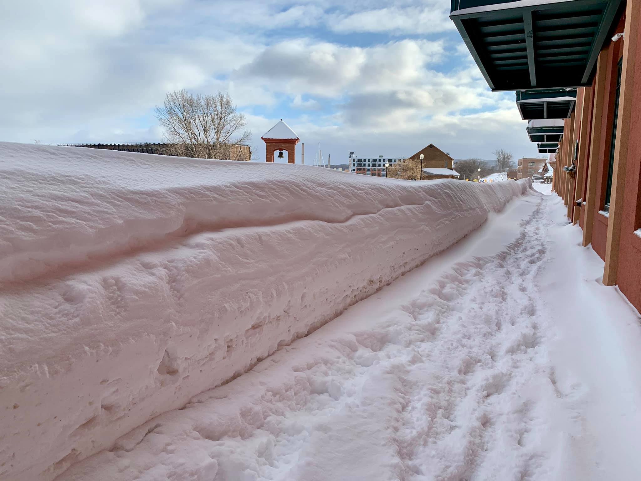
JUST WHAT WE needed.
Another ten inches-plus headed our way late Saturday and early Sunday. That’s according to the National Weather Service.
“The exact path of the storm system is still not certain,” says NWS meteorologist Jon Banitt, “but it looks like it’s headed up through Green Bay into the western half of the Upper Peninsula. The eastern third of the UP will probably get more freezing rain and sleet.”
Marquette County? Yeah, ten inches and more depending on the location and elevation.
“It’s going to be a wet, heavy, dense snow,” Banitt continues. Our favorite kind. “And the winds at times could be heavy, creating white-out conditions in open areas.”
Hazardous driving, to say the least. Stay off the roads.
And for the ski racers on Marquette Mountain this weekend, good luck. Fingers crossed that the worst of the storm hits after they’ve finished competition Saturday afternoon, and before they start on Sunday.
By the way, the National Weather Service in Negaunee has recorded 67.5 inches of snow so far this month. That’s the second highest total ever for February (since records were first kept in 1961). And now more is on the way.
Enjoy.


